Wednesday 7 March 2018

East Ardsley (South East Leeds) to Upper Batley Area (South Leeds) (6 miles) - 26th February 2018


The 481 bus took me back to East Ardsley and I continued the Leeds Country Way via the village and down Pidden Lane off the A650.

Enroute to West Ardsley


I've got a bit lost following the directions crossing the fields to Blind Lane.  Had no problems there and descended towards a small beck and crossed it to descend up to Hey Beck Lane.  I continued with the ascent, via Hey Beck, and towards West Ardsley.


Woodkirk Church

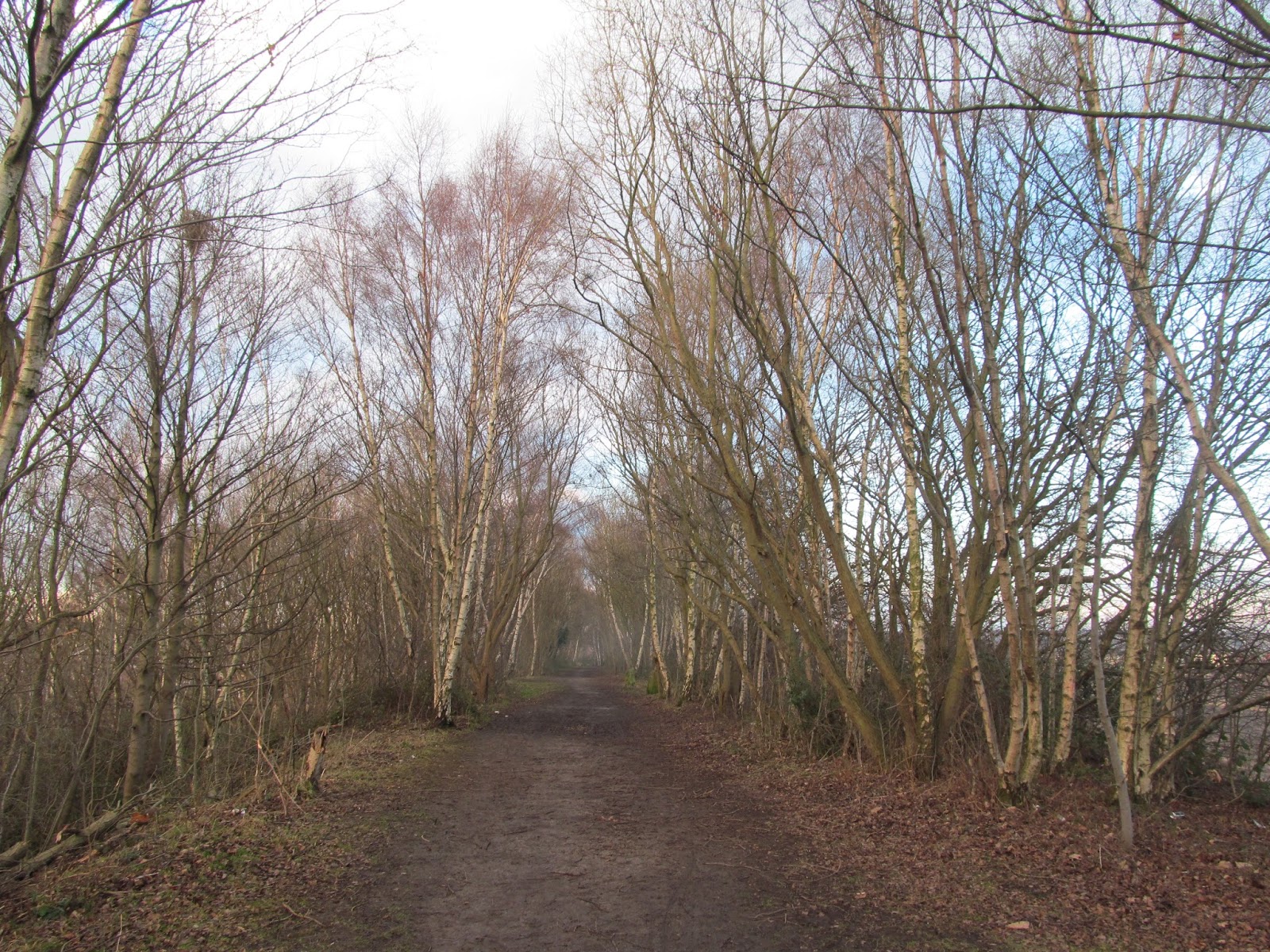
It was a short walk to Woodkirk and stopped to have a quick break.  I didn't have a long one as it was very cold.  Passed the church and crossed the busy Dewsbury Road (A653). Got lost around Woodkirk Cricket Club and Howley Park Quarry.  Met a friendly dog walker who was walking a cute Beagle and we walked together briefly as he was doing the same route, along the deep railway cutting, up to the Quarry Access Road.  The walker was very helpful and directed me to which paths I should continue walking on.  He eventually moved on and I continued passing the golf course and the ruins of Howley Hall.  I was expecting an old grandeur stately home but it wasn't so.


I turned diagonally left to descend down the field and towards Howley Mill Lane via the tunnel beneath the railway line.  It was only a short walk towards Scotchman Lane (B6123).  The signs welcomed me back to Leeds and Morley.  It wasn't long before the 221 bus came for my journey back to Leeds. 


Sunday 4 March 2018

Robin Hood (South East Leeds) to East Ardsley (South East Leeds) (4.5 miles)- 25th February 2018

Leeds Country Way, near Thorpe on the Hill, South East Leeds


Julie joined me for the 4.5 miles stretch on the Leeds Country Way from Robin Hood to East Ardsley,  It was a glorious day and we got the 110 bus from the city centre to Leeds Road.  Alighted off Leeds road we turn left down Milner Lane and joined the footpath.  We navigated the field via its tracks passing Thorpe Hall.


We entered Thrope on the Hill village and crossed the M62 motorway via its covered bridge.  We had to divert some horse paddocks enroute as Julie felt uncomfortable walking through them with the horses.  Instead we followed Dolphin Beck on the right hand side until we reached Lingwell Gate Lane.


Passing the Nook pub we turned right to a gateway.  We briefly stopped to have a snack and we were convinced then that the pathway was beyond the railway bridge so we soldiered on .  The main road had no signs of the Leeds Country Way signs so we backtracked to the gateway and walked a bit through wooded pathway.


From the pathway we crossed fields towards East Ardsley and on arrival in the village we just waited only 20 minutes for the 481 bus back to Leeds.


A pond near East Ardsley, Leeds Country Way


It was a good walk though the map isn't as accurate as it should be particularly with some of the rewording and the trail lines.  We have to bear in mind the map was produced nearly 12 years ago and perhaps it should be revisited as there has been a lot of housing and environmental developments took place since. 

Mickletown (South East Leeds) to Robin Hood (South East Leeds) (8 miles) - 17th February 2018


Got the 189 bus to Church Lane in Mickeltown and continued on the Leeds Country Way via Methley village and its fields towards Methley Park and Hungate Lane.  I followed the perimeter of Moss Carr Wood.  I did get lost as I continued towards an eventual bridge which crosses the M62 motorway and there I had to retrace my tracks.  I eventually found the "right way" via its familar LCW signs though I didn't notice them the first time round. 


Enroute to Royds Green, Leeds Country Way 

No problems crossing Pennington Lane (A642) via Royds school towards Royds Green.  I noticed a number of cars making their way to Swithens Farm.  Farm shop's advertisments enroute and I was curious a to why the traffic was quite busy!


Arriving at the farm shop there is as well a petting farm along with a cafe.  It was an opportunity to stop for a coffee and I know why it's busy...plenty of families visiting the farm and it was a place where I could walk in and stop for a coffee.  Usually my boots would be too muddy for pubs but it seems this isn't the issue for this place as they do cater for the outdoors.


Carlton Village, South East Leeds, Leeds Country Way 

After a coffee I descended down the fields towards Carlton, walked through the very muddy horse paddocks and through the village.  I reached some uncultivated fields...the track markings are confusing and instead of turning diagonally right I continued straight on.  I ended up on Leeds Road (A61) but reached it via the wrong track as it should have been a railway embankment.


Before catching the 110 bus back to Leeds I checked out the embankment with its disused railway line as far as where I should have joined from the fields in the first place.  I also noticed a former colliery enroute.  

Had to wait a but for the bus so I took the opportunity to clean up with my attire a bit as it was a very muddy walk.


Cookridge to Golden Acre Park (North West Leeds) (The End) (1 mile) - 1st July 2018

Must turn right on the Leeds Country Way!   Reminding myself I must turn right, I must turn right...I caught the No. 6 bus from the ...